Parks and Restoration
June 4, 2013 Leave a comment
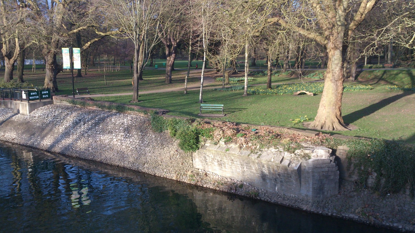
One of the best things about Cardiff is that right in the middle of the city, there is a well-designed and beautifully maintained green space, which is free for everyone to experience. I often take a detour through Bute Park when I’m walking into town, just to enjoy the peace, quiet, and fresh air. The other day, I noticed there were fences up around Blackfriars’ Priory and stopped there to read the information signs; it turns out this is the latest stage of a restoration project that has been going on for almost a decade.
The project began with a detailed report (pdf) on the history of the park, its current usage, and future plans for development. It is a comprehensive document, bringing together for the first time many items from the city and national archives and gives an interesting account of how the park came to be as it is today. The history section of the report features a number of maps – I’m going to show some of them here, along with a summary of the evolution of this fabulous resource we have, at the centre of a busy city.
The Romans built four forts on the site of Cardiff Castle, the latest in the 1st century CE. A Norman motte and bailey timber fort replaced it in 1081; it was reconstructed in stone during the 12th century. Around this time, a number of mills were built on the banks of the River Taff – they were used for iron making, corn, and fulling. The first recorded mention of these mills was between 1118 and 1147; they were still in operation in 1530.
In 1256, the Black (Dominican) Friars established a friary, founded by Richard de Clare, son of Henry I. It was sacked by Owain Glwyndwr in 1404.
Domestic quarters were added to the castle in the 15th century, and a Shire Hall added in the 16th century, seen here in John Speed’s 1610 map (Figure 10).

The castle and mills fell into disrepair, passing through the hands of various family owners until the Bute family took over the estate in the mid-18th century. In 1730, the mill stream was widened, upgraded by Richard Watkins of Bassaleg, and in 1778 Capability Brown and Henry Holland began work on the castle. (Brown has a more substantial web presence than your average 18th century chap, with his own website and blog, amongst other resources.) Figure 11 shows that most of the area to the north of the castle was farm land around this time.

In 1796, the title of First Marquess of Bute was created. He ordered a new bridge over the Taff to replace the existing medieval structure, which had needed many repairs over the years. Some reports talked of huge blocks of ice drifting downstream in the spring thaws, which caused a significant amount of damage. See plate 1 for Turner’s view of the bridge.

Around this time, the Glamorganshire canal was built, transforming the fortunes of the area. A feeder for the canal was constructed (visible on figures 11 and 16), running to the east of the castle. Some old postcards of the canal at the North Road lock can be found here and here. The canal bridge is still there, but it is now a pedestrian subway under North Road (see photo below).

The Taff was still untamed at this time; the course of the river would often change and the whole area was prone to flooding. Figure 16 gives an idea of how convoluted the river was, though it’s not clear how many of the changes in figure 18 are present.

The mills began to fall into disuse again, mostly due to disputes over mill stream. There were disputes over the actual course of the river too – in 1822, the owner of western bank built jetties and planted trees, resulting in more erosion on the east bank (see figure 18). The Marquess lost 12-20 acres of land.

Figure 17 shows the Glamorgan estate in 1824. Note how the main roads, to Cowbridge and “Merthyr Tidvil” are turnpikes – a toll gate is visible to the north of the castle. It’s also interesting that the area to the West of the river is labelled “Place Sturton Farm”, clearly the derivation of streets that can be seen in Pontcanna nowadays, such as Plasturton Gardens.

In 1829, there were proposals to adapt the mill stream and in 1836, Blackweir farm was purchased by the Marquess, partly to aid construction of dock feeder (figure 26), which took place in 1836-41. A footpath was added from the Taff to the moat, the northern moat was cleaned and lowered, and a well constructed. The bridge across the feeder became known as Lady Bute’s bridge (see photo below).


The first Cardiff dock opened in 1839 and in 1848, the 2nd Marquess died. His heir, the 3rd Marquess was only one year old, so trustees took care of the estate for the next 20 years. The River work was completed in 1851 and area now known as Bute Park became one complete site for the first time. See figure 19 for the Ordnance Survey of that year.

In 1855, the trustees bought Coopers Fields and closed Bute park to the public to give the family more privacy. To compensate for this, a plan was devised to open Sophia Gardens on the west bank of the river for public use. With the grounds closed, deer were kept in Bute Park between 1851 and 1870.
1859 saw the opening of the second Cardiff dock, and construction of a new bridge, which is still in use today. You can still see the foundations of the previous bridge at the edge of the park (see photo below).
The 3rd Marquess gained his majority in 1868 and began to transform the castle with William Burges. Plate 10 shows the view over the new bridge in 1869.

In 1875, a Swiss bridge (by Burges) was constructed over the moat at the west of the castle (see plate 23). It was relocated west of the mews in 1927, then demolished in 1963. Few pictures of it remain beyond those in the report (in other words, I couldn’t find any on the internet).

Figure 27 shows the 1880 Ordnance Survey plan of the park, which apparently shows the deer fences, but I can’t make them out.

In 1887 Blackfriars’ was excavated by Kempson & Fowler. The animal wall was constructed a few years later; it had to be relocated in 1923 due to the widening of Duke St.
The 3rd Marquess died in 1900 and his son, the 4th Marquess, died in 1947. The 5th Marquess gifted the castle grounds to the people of Cardiff. The arboretum was started the same year, and in 1950, the council proposed a zoo in Bute park. Perhaps this was to compensate for the recent closure of a zoo in Victoria Park.
In 1978 the Gorsedd stones were erected for the National Eisteddfod, in 2000 the footbridge to Sophia gardens was installed, and in 2004 the current round of development began, with postal and face-to-face surveys, electronic counters, research, etc., feeding into a 258-page report. It’s interesting that, in the surveys, Bute Park was named the least favourite of all the parks in Cardiff, with anti-social behaviour, drink and drug use, and crime being the main reasons.
So, hats off to Cardiff Council for making so many improvements to the park and for turning it into a place that people want to visit again. Let’s hope it can stay that way for many years to come.
[Yes, the title is a reference to Parks and Recreation. If you haven’t seen it yet, take a look!]
